Cent Ans de la Plus Grande Course du Monde
Tour de France
Introduction
Don’t Call It A Prologue
It started with a tutorial and a dataset. This tutorial on QGIS mapping software, with a mention of this dataset of all the stations of all the Tour de France races. This was 2 months ago, according to the question I left in the comments. I don’t even remember how I came across it, but the thing to do was obvious: make a poster of all the Tours. One hundred of them, for this year’s centennial. Right?
So here we are, and the race starts tomorrow. There will be a poster, but it’s not ready. Or rather, after folding in another dataset of all the winners, dropouts, etc., and after 3 different GIS apps, and after drawing all the routes manually, it’s ready but — it’s not good. It looks basically like this:

A lot of work, a lot of time, but just not very appealing. So I’m reworking the poster, and with it plans that this site would be a big poster bonanza.
In the meantime other things have come along, like pencils! We have one set in hand: the French Champions set, and will have another set in a few days. Also some prints and things. We’ll see how it goes.
And then there was the idea of this blog could be: a way to follow the race but use the race as an occasion to talk about cycling, bikes, and whatever else comes up in semi-related ways. Something of a Maynard Hershon revival, for all you Winning Magazine readers. I hope to get a few buddies to contribute — or anyone else who might stuff to say about the race or semi-related matters.
We’ll see how it goes.
No Prologue this year. Prologue time trials always seemed like an unnatural start to what is predominately a race of road races. The is all the more evident when you’ve spent some time drawing race routes. Time to ride! Expect to see Cavendish in yellow this time tomorrow.
— Sam Potts
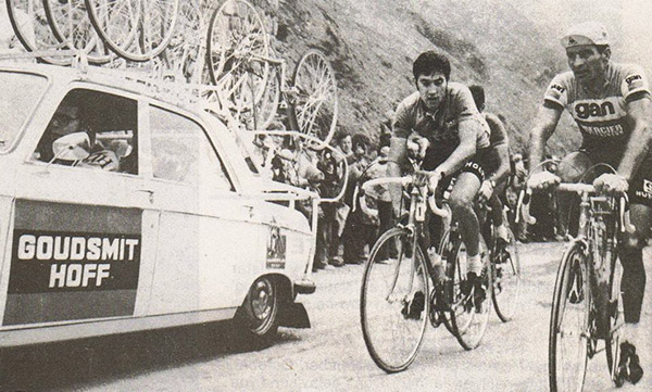
Here is your daily champion:
The greatest of them all, the Cannibal: Eddy Merckx